
Landeck topographic map
Interactive map
Click on the map to display elevation.
About this map
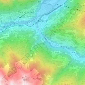
Name: Landeck topographic map, elevation, terrain.
Location: Landeck, Tirol, 6500, Austria (47.09818 10.52642 47.15665 10.60537)
Average elevation: 1,325 m
Minimum elevation: 764 m
Maximum elevation: 2,582 m