
Erdenetsagaan topographic map
Interactive map
Click on the map to display elevation.
About this map
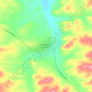
Name: Erdenetsagaan topographic map, elevation, terrain.
Location: Erdenetsagaan, Sükhbaatar, Mongolia (45.86502 115.33257 45.94502 115.41257)
Average elevation: 1,096 m
Minimum elevation: 1,036 m
Maximum elevation: 1,183 m