
Lammefjorden topographic map
Interactive map
Click on the map to display elevation.
About this map
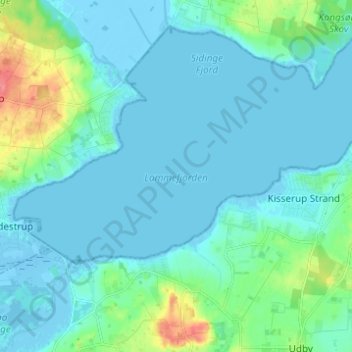
Name: Lammefjorden topographic map, elevation, terrain.
Location: Lammefjorden, Gundestrup, Seeland, Denemarken (55.77172 11.60912 55.80615 11.73209)
Average elevation: 10 m
Minimum elevation: -10 m
Maximum elevation: 61 m