
Сырдарья topographic map
Interactive map
Click on the map to display elevation.
About this map
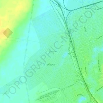
Name: Сырдарья topographic map, elevation, terrain.
Location: Сырдарья, Арысь Г.А., Туркестанская область, Казахстан (42.40035 68.76102 42.44035 68.80102)
Average elevation: 241 m
Minimum elevation: 232 m
Maximum elevation: 256 m