Geolocate

Lavale topographic map

Click on the map to display elevation.

About this map
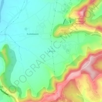
Name: Lavale topographic map, elevation, terrain.

Location: Lavale, Mulshi Subdistrict, Pune District, Maharashtra, 412115, India (18.50302 73.70240 18.54302 73.74240)

Average elevation: 646 m

Minimum elevation: 554 m

Maximum elevation: 814 m

Other topographic maps

Click on a map to view its topography, its elevation and its terrain.

Temghar dam

India > Maharashtra > Mulshi Subdistrict

Average elevation: 745 m

Mulshi Dam

India > Maharashtra > Mulshi Subdistrict > Sambhave

Average elevation: 608 m

Shirgaon

India > Maharashtra > Mulshi Subdistrict

Average elevation: 688 m

Gear up for your next adventure:

🧯Animal Deterrent Spray - Safety spray for wildlife
🔥Camping Stoves - Portable stoves for outdoor cooking
🦘Outback Survival Gear - Essential gear for Australian outback
⛺Ultralight Solo Tents - Compact shelters for multi-day topographic surveying expeditions
📡Weather Radios - Emergency weather radios

As an Amazon Associate, this site earns from qualifying purchases at no extra cost to you.