
Tynda topographic map
Interactive map
Click on the map to display elevation.
About this map
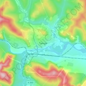
Name: Tynda topographic map, elevation, terrain.
Average elevation: 566 m
Minimum elevation: 477 m
Maximum elevation: 766 m
The town is located at an elevation of 500 meters (1,600 ft) above sea level, near where the Getkan joins the Tynda River, after which the town was named. The Tynda then flows into the Gilyuy, a tributary of the Zeya, a few kilometers east of the town.