Kongde Ri topographic map
Interactive map
Click on the map to display elevation.
About this map
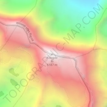
Name: Kongde Ri topographic map, elevation, terrain.
Average elevation: 5,349 m
Minimum elevation: 4,399 m
Maximum elevation: 6,092 m

Click on the map to display elevation.
Name: Kongde Ri topographic map, elevation, terrain.
Average elevation: 5,349 m
Minimum elevation: 4,399 m
Maximum elevation: 6,092 m