
Sartédigos topographic map
Interactive map
Click on the map to display elevation.
About this map
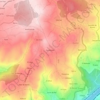
Name: Sartédigos topographic map, elevation, terrain.
Location: Sartédigos, Vilar de Astrés, Orense, Galicia, 32960, España (42.36783 -7.88756 42.40783 -7.84756)
Average elevation: 367 m
Minimum elevation: 107 m
Maximum elevation: 490 m
Other topographic maps
Click on a map to view its topography, its elevation and its terrain.