
Thank you for supporting this site ❤️
Make a donation
Make a donation
Gear up for your next adventure:
As an Amazon Associate, this site earns from qualifying purchases at no extra cost to you.
Gajyo topographic map
Click on the map to display elevation.
Thank you for supporting this site ❤️
Make a donation
Make a donation
Gear up for your next adventure:
As an Amazon Associate, this site earns from qualifying purchases at no extra cost to you.
About this map
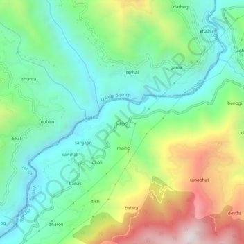
Name: Gajyo topographic map, elevation, terrain.
Location: Gajyo, Rajgarh, Sirmaur, Himachal Pradesh, India (30.92680 77.26316 30.96680 77.30316)
Average elevation: 1,320 m
Minimum elevation: 962 m
Maximum elevation: 2,058 m
Thank you for supporting this site ❤️
Make a donation
Make a donation
Gear up for your next adventure:
As an Amazon Associate, this site earns from qualifying purchases at no extra cost to you.