
Zamáns topographic map
Interactive map
Click on the map to display elevation.
About this map
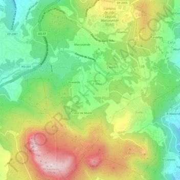
Name: Zamáns topographic map, elevation, terrain.
Location: Zamáns, Vigo, Pontevedra, Galicia, 36310, España (42.13243 -8.71346 42.17342 -8.67171)
Average elevation: 397 m
Minimum elevation: 180 m
Maximum elevation: 694 m