
Cloverdale topographic map
Click on the map to display elevation.
About this map
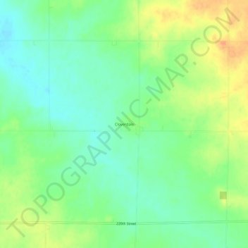
Name: Cloverdale topographic map, elevation, terrain.
Location: Cloverdale, Osceola County, Iowa, United States (43.32692 -95.70585 43.36692 -95.66585)
Average elevation: 467 m
Minimum elevation: 450 m
Maximum elevation: 489 m