
Spring City topographic map
Click on the map to display elevation.
About this map
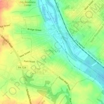
Name: Spring City topographic map, elevation, terrain.
Location: Spring City, Chester County, Pennsylvania, United States (40.16623 -75.55811 40.18655 -75.53182)
Average elevation: 61 m
Minimum elevation: 27 m
Maximum elevation: 107 m
Other topographic maps
Click on a map to view its topography, its elevation and its terrain.
Glenrose
United States > Pennsylvania > Chester County > East Fallowfield Township > Glenrose
Average elevation: 154 m