
덕촌리 topographic map
Interactive map
Click on the map to display elevation.
About this map
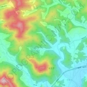
Name: 덕촌리 topographic map, elevation, terrain.
Location: 덕촌리, Yangpyeong, Gyeonggi, 12511, Corea del Sur (37.49356 127.56711 37.53356 127.60711)
Average elevation: 186 m
Minimum elevation: 64 m
Maximum elevation: 420 m