
Murry topographic map
Click on the map to display elevation.
About this map
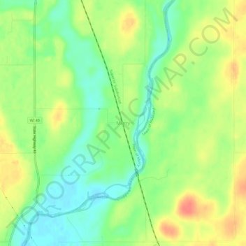
Name: Murry topographic map, elevation, terrain.
Location: Murry, Town of Murry, Rusk County, Wisconsin, United States (45.58052 -91.22071 45.62052 -91.18071)
Average elevation: 355 m
Minimum elevation: 333 m
Maximum elevation: 380 m