
Thank you for supporting this site ❤️
Make a donation
Make a donation
Gear up for your next adventure:
As an Amazon Associate, this site earns from qualifying purchases at no extra cost to you.
Koba topographic map
Click on the map to display elevation.
Thank you for supporting this site ❤️
Make a donation
Make a donation
Gear up for your next adventure:
As an Amazon Associate, this site earns from qualifying purchases at no extra cost to you.
About this map
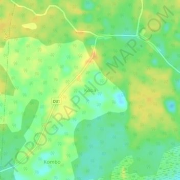
Name: Koba topographic map, elevation, terrain.
Location: Koba, Kobdombo, Nyong-et-Foumou, Centre, Cameroon (3.97455 12.61894 4.01455 12.65894)
Average elevation: 662 m
Minimum elevation: 647 m
Maximum elevation: 675 m
Thank you for supporting this site ❤️
Make a donation
Make a donation
Gear up for your next adventure:
As an Amazon Associate, this site earns from qualifying purchases at no extra cost to you.