
Santana do Mato topographic map
Interactive map
Click on the map to display elevation.
About this map
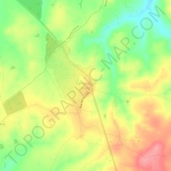
Name: Santana do Mato topographic map, elevation, terrain.
Location: Santana do Mato, Coruche, Santarém, Portugal (38.85867 -8.43053 38.89867 -8.39053)
Average elevation: 106 m
Minimum elevation: 54 m
Maximum elevation: 155 m