
Otho topographic map
Interactive map
Click on the map to display elevation.
About this map
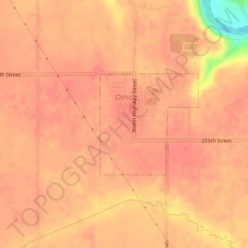
Name: Otho topographic map, elevation, terrain.
Location: Otho, Webster County, Iowa, Verenigde Staten (42.41615 -94.15542 42.42715 -94.14093)
Average elevation: 338 m
Minimum elevation: 287 m
Maximum elevation: 348 m