
Aquarius Plateau topographic map
Interactive map
Click on the map to display elevation.
About this map
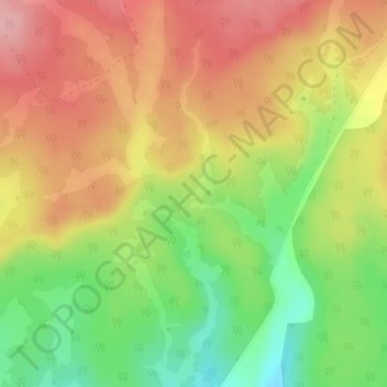
Name: Aquarius Plateau topographic map, elevation, terrain.
Location: Aquarius Plateau, Garfield County, Utah, United States (38.03105 -111.70301 38.03115 -111.70291)
Average elevation: 3,024 m
Minimum elevation: 2,946 m
Maximum elevation: 3,091 m