
Harwood topographic map
Interactive map
Click on the map to display elevation.
About this map
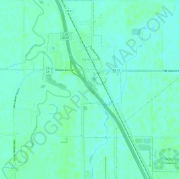
Name: Harwood topographic map, elevation, terrain.
Location: Harwood, Cass County, North Dakota, 58042, United States (46.95431 -96.89491 46.99181 -96.86139)
Average elevation: 272 m
Minimum elevation: 268 m
Maximum elevation: 274 m