
Loures topographic map
Interactive map
Click on the map to display elevation.
About this map
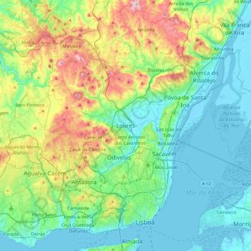
Name: Loures topographic map, elevation, terrain.
Location: Loures, Lissabon, 2670-420, Portugal (38.67087 -9.32845 38.99087 -9.00845)
Average elevation: 112 m
Minimum elevation: -3 m
Maximum elevation: 437 m