
Troy Hill topographic map
Interactive map
Click on the map to display elevation.
About this map
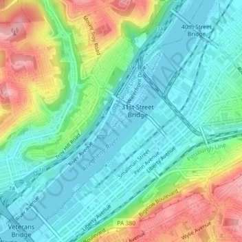
Name: Troy Hill topographic map, elevation, terrain.
Location: Troy Hill, PGH, Allegheny County, Pennsylvania, VS (40.45242 -79.99467 40.47161 -79.97239)
Average elevation: 264 m
Minimum elevation: 217 m
Maximum elevation: 361 m