
Groomsville topographic map
Interactive map
Click on the map to display elevation.
About this map
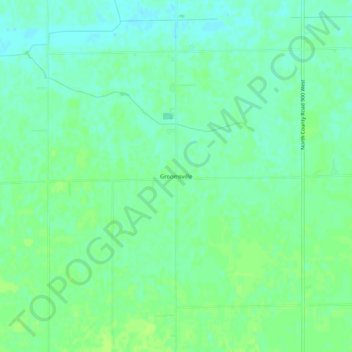
Name: Groomsville topographic map, elevation, terrain.
Location: Groomsville, Tipton County, Indiana, United States (40.32587 -86.22277 40.36587 -86.18277)
Average elevation: 275 m
Minimum elevation: 269 m
Maximum elevation: 280 m