Geolocate

Vermilion topographic map

Click on the map to display elevation.

About this map
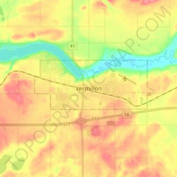
Name: Vermilion topographic map, elevation, terrain.

Location: Vermilion, Town of Vermilion, Alberta, T9X 1B7, Canada (53.31271 -110.89421 53.39271 -110.81421)

Average elevation: 616 m

Minimum elevation: 571 m

Maximum elevation: 652 m

Gear up for your next adventure:

🪢Paracord - Multi-purpose survival cord
🏃Compression Recovery Socks - Reduce leg fatigue after heavy days of elevation gain
📣High-Decibel Survival Whistles - Signaling tool for rescue that carries much further than a human voice
🥾Hiking Shoes - Lightweight hiking shoes for day hikes
📡Weather Radios - Emergency weather radios

As an Amazon Associate, this site earns from qualifying purchases at no extra cost to you.