
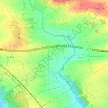
Buernel topographic map
Interactive map
Click on the map to display elevation.
About this map
Name: Buernel topographic map, elevation, terrain.
Average elevation: 204 m
Minimum elevation: 173 m
Maximum elevation: 239 m
Other topographic maps
Click on a map to view its topography, its elevation and its terrain.
Haegen
France > Grand Est > Wilwisheim
Haegen, Wilwisheim, Saverne, Bas-Rhin, Grand Est, France métropolitaine, 67270, France
Average elevation: 198 m