
Whiteclay topographic map
Interactive map
Click on the map to display elevation.
About this map
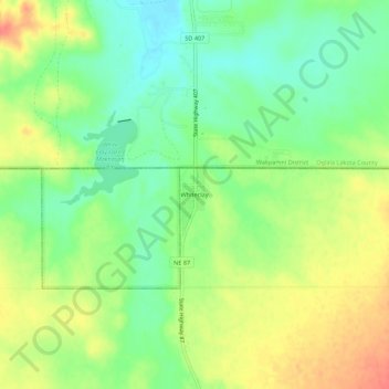
Name: Whiteclay topographic map, elevation, terrain.
Location: Whiteclay, Sheridan County, Nebraska, 69365, United States (42.97700 -102.57457 43.01700 -102.53457)
Average elevation: 1,005 m
Minimum elevation: 981 m
Maximum elevation: 1,033 m