
Mylavaram topographic map
Interactive map
Click on the map to display elevation.
About this map
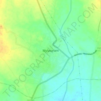
Name: Mylavaram topographic map, elevation, terrain.
Location: Mylavaram, Krishna, Andhra Pradesh, India (16.74120 80.62182 16.78120 80.66182)
Average elevation: 56 m
Minimum elevation: 44 m
Maximum elevation: 71 m