Geolocate

Americas topographic map

Click on the map to display elevation.

About this map

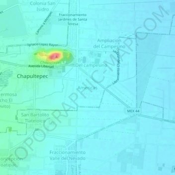
Name: Americas topographic map, elevation, terrain.

Location: Americas, Chapultepec, State of Mexico, 52243, Mexico (19.17829 -99.56868 19.21829 -99.52868)

Average elevation: 2,579 m

Minimum elevation: 2,570 m

Maximum elevation: 2,659 m

Gear up for your next adventure:

🧊Insulated Cooler Bags - Keep food fresh for day trips to remote geographic sites
🧥Insulated Down Jackets - High warmth-to-weight ratio for cold nights in the high country
🔦Powerful LED Headlamps - Hands-free lighting for night navigation and setting up camp after dark
GPS Watches - GPS watches for outdoor sports
👣Snake & Scrub Gaiters - Protection against spinifex, mud, and snakes while walking off-track

As an Amazon Associate, this site earns from qualifying purchases at no extra cost to you.