
Saint-Barthélemy topographic map
Interactive map
Click on the map to display elevation.
About this map
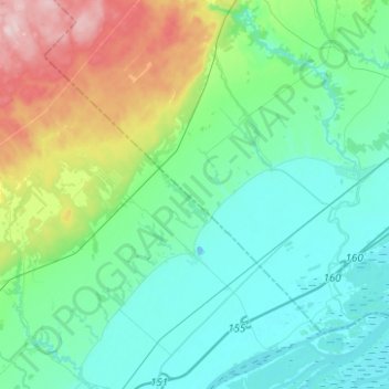
Name: Saint-Barthélemy topographic map, elevation, terrain.
Average elevation: 60 m
Minimum elevation: -5 m
Maximum elevation: 263 m
Other topographic maps
Click on a map to view its topography, its elevation and its terrain.
Berthierville
Berthierville, D'Autray, Lanaudière, Quebec, J0K 1A0, Canada
Average elevation: 9 m