
Tala topographic map
Interactive map
Click on the map to display elevation.
About this map
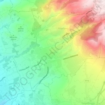
Name: Tala topographic map, elevation, terrain.
Location: Tala, Κοινότητα Τάλας, Paphos District, 8577, Cyprus (34.81613 32.41098 34.85613 32.45098)
Average elevation: 286 m
Minimum elevation: 56 m
Maximum elevation: 637 m