
Puerto Barantilla topographic map
Interactive map
Click on the map to display elevation.
About this map
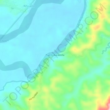
Name: Puerto Barantilla topographic map, elevation, terrain.
Location: Puerto Barantilla, Ahuano, Tena, Napo, 150151, Équateur (-1.09604 -77.55638 -1.05604 -77.51638)
Average elevation: 388 m
Minimum elevation: 342 m
Maximum elevation: 560 m