
東區 topographic map
Interactive map
Click on the map to display elevation.
About this map
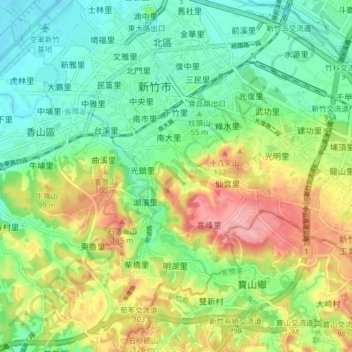
Name: 東區 topographic map, elevation, terrain.
Location: 東區, Hsinchu, Province de Taïwan, Taïwan (24.75118 120.95610 24.82435 121.03354)
Average elevation: 55 m
Minimum elevation: 2 m
Maximum elevation: 144 m
Other topographic maps
Click on a map to view its topography, its elevation and its terrain.