
Gunskirchen topographic map
Interactive map
Click on the map to display elevation.
About this map
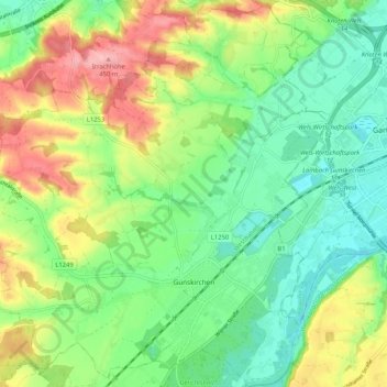
Name: Gunskirchen topographic map, elevation, terrain.
Location: Gunskirchen, Bezirk Wels-Land, Upper Austria, 4623, Austria (48.11453 13.88120 48.18406 13.97890)
Average elevation: 363 m
Minimum elevation: 312 m
Maximum elevation: 450 m