
Brown Street topographic map
Interactive map
Click on the map to display elevation.
About this map
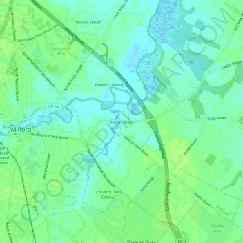
Name: Brown Street topographic map, elevation, terrain.
Location: Brown Street, Sussex County, Delaware, 19963, United States (38.89428 -75.42658 38.93428 -75.38658)
Average elevation: 7 m
Minimum elevation: -2 m
Maximum elevation: 13 m
Other topographic maps
Click on a map to view its topography, its elevation and its terrain.
Little Bay
United States > Delaware > Sussex County
Little Bay, Sussex County, Delaware, 19930, United States
Average elevation: 0 m
Warwick
United States > Delaware > Sussex County > Warwick
Warwick, Sussex County, Delaware, 19966, United States
Average elevation: 7 m
Ocean View
United States > Delaware > Sussex County
Ocean View, Sussex County, Delaware, 19770, United States
Average elevation: 4 m
Green Hill
United States > Delaware > Sussex County > Lewes
Green Hill, Lewes, Sussex County, Delaware, 19958, United States
Average elevation: 1 m