Geolocate

Lakefield topographic map

Click on the map to display elevation.

About this map
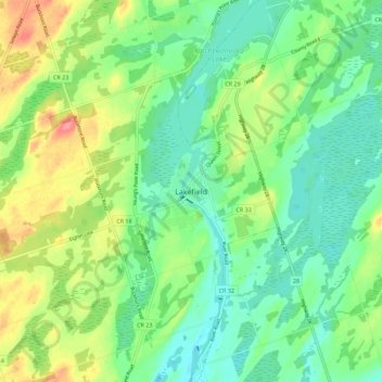
Name: Lakefield topographic map, elevation, terrain.

Location: Lakefield, Selwyn, Peterborough County, Central Ontario, Ontario, K0L 2H0, Canada (44.38294 -78.31235 44.46294 -78.23235)

Average elevation: 248 m

Minimum elevation: 220 m

Maximum elevation: 302 m

Other topographic maps

Click on a map to view its topography, its elevation and its terrain.

Clear Lake

Canada > Ontario > Peterborough County > Selwyn > Young's Point

Average elevation: 250 m

Chemong Lake

Canada > Ontario > Peterborough County > Selwyn > Bridgenorth

Average elevation: 256 m

Emerald Isle

Canada > Ontario > Peterborough County > Selwyn

Average elevation: 250 m

Fothergill Island

Canada > Ontario > Peterborough County > Selwyn

Average elevation: 248 m

Chemong Lake

Canada > Ontario > Peterborough County > Selwyn > Bridgenorth

Average elevation: 256 m

Gear up for your next adventure:

🎒3L Hydration Reservoirs - Hands-free drinking to stay hydrated on steep contour climbs
🎽Hiking Clothing - Breathable clothing for hiking
🛌Sleeping Mats - Insulated mats for camping comfort
🦯Adjustable Trekking Poles - Reduce impact on knees when descending steep topographic ridges
👣Snake & Scrub Gaiters - Protection against spinifex, mud, and snakes while walking off-track

As an Amazon Associate, this site earns from qualifying purchases at no extra cost to you.