
Magdalena topographic map
Interactive map
Click on the map to display elevation.
About this map
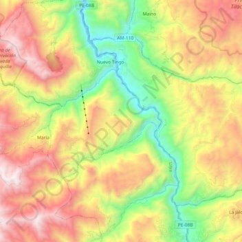
Name: Magdalena topographic map, elevation, terrain.
Location: Magdalena, Chachapoyas, Amazonas, Peru (-6.47999 -77.92424 -6.35419 -77.74348)
Average elevation: 2,660 m
Minimum elevation: 1,752 m
Maximum elevation: 3,719 m