
Îles Santa Cruz topographic map
Interactive map
Click on the map to display elevation.
About this map
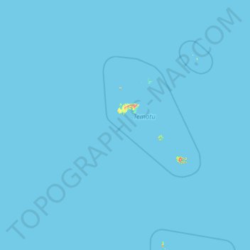
Name: Îles Santa Cruz topographic map, elevation, terrain.
Location: Îles Santa Cruz, noname, Temotu Province, Solomon Islands (-12.30763 165.71679 -9.75936 170.19170)
Average elevation: 1 m
Minimum elevation: 0 m
Maximum elevation: 762 m