
普渡河 topographic map
Interactive map
Click on the map to display elevation.
About this map
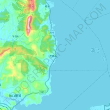
Name: 普渡河 topographic map, elevation, terrain.
Location: 普渡河, 海口街道, 西山区, 昆明市, 云南省, 中国 (24.76985 102.60613 24.91048 102.68572)
Average elevation: 1,936 m
Minimum elevation: 1,883 m
Maximum elevation: 2,417 m