
Les Hauts Buttés topographic map
Interactive map
Click on the map to display elevation.
About this map
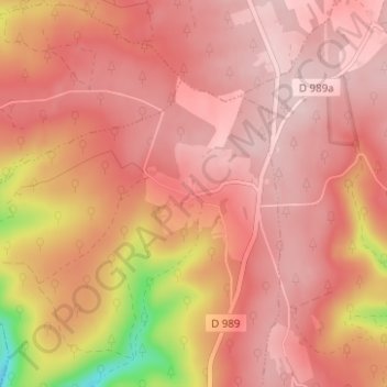
Name: Les Hauts Buttés topographic map, elevation, terrain.
Average elevation: 431 m
Minimum elevation: 250 m
Maximum elevation: 494 m
Other topographic maps
Click on a map to view its topography, its elevation and its terrain.
Les Woieries
France > Grand Est > Ardennes > Monthermé > Les Woieries
Les Woieries, Monthermé, Charleville-Mézières, Ardennes, Grand Est, France métropolitaine, 08800, France
Average elevation: 373 m