
Port Wakefield topographic map
Interactive map
Click on the map to display elevation.
About this map
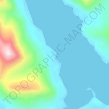
Name: Port Wakefield topographic map, elevation, terrain.
Location: Port Wakefield, Kodiak Island, Alaska, United States (58.02860 -153.07536 58.06860 -153.03536)
Average elevation: 123 m
Minimum elevation: -13 m
Maximum elevation: 740 m