
Doce de Abril topographic map
Interactive map
Click on the map to display elevation.
About this map
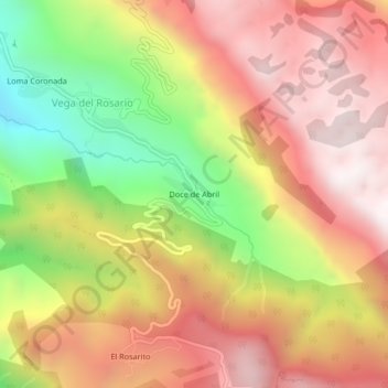
Name: Doce de Abril topographic map, elevation, terrain.
Location: Doce de Abril, Siltepec, Chiapas, México (15.49199 -92.31578 15.53199 -92.27578)
Average elevation: 2,186 m
Minimum elevation: 1,501 m
Maximum elevation: 2,704 m