
Attawapiskat First Nation topographic map
Interactive map
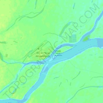
Click on the map to display elevation.
About this map
Name: Attawapiskat First Nation topographic map, elevation, terrain.
Average elevation: 6 m
Minimum elevation: -6 m
Maximum elevation: 12 m
Other topographic maps
Click on a map to view its topography, its elevation and its terrain.
Attawapiskat
Canada > Ontario > Attawapiskat First Nation
Attawapiskat, Riverside East, Attawapiskat First Nation ᐊᑕᐗᐱᐢᑲᑐᐎ ᐃᓂᓂᐧᐊᐠ, Attawapiskat First Nation, Kenora District, Northwestern Ontario, Ontario, P0L 1A0, Canada
Average elevation: 6 m