
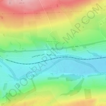
Melkridge topographic map
Interactive map
Click on the map to display elevation.
About this map
Name: Melkridge topographic map, elevation, terrain.
Average elevation: 159 m
Minimum elevation: 91 m
Maximum elevation: 263 m
Other topographic maps
Click on a map to view its topography, its elevation and its terrain.
Melkridge
United Kingdom > England > Melkridge
Melkridge, Northumberland, North East England, England, NE49 0LX, United Kingdom
Average elevation: 179 m