
Lisar topographic map
Interactive map
Click on the map to display elevation.
About this map
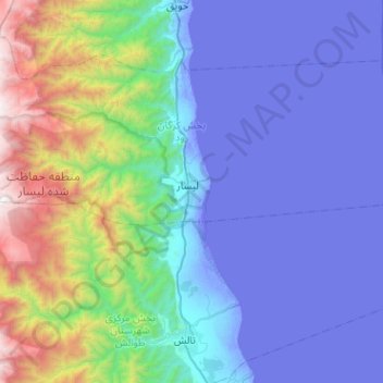
Name: Lisar topographic map, elevation, terrain.
Location: Lisar, بخش کرگان رود, Talesh County, Gilan Province, Iran (37.89781 48.57085 38.00563 49.07922)
Average elevation: 454 m
Minimum elevation: -31 m
Maximum elevation: 2,718 m