
Besana topographic map
Interactive map
Click on the map to display elevation.
About this map
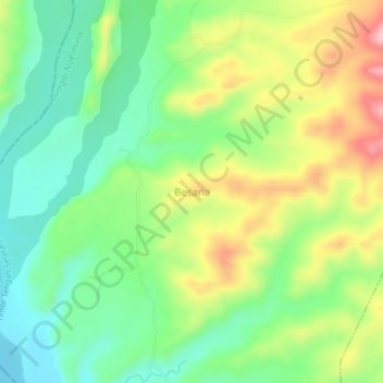
Name: Besana topographic map, elevation, terrain.
Location: Besana, Timor Tengah Selatan, Nusa Tenggara Timur, Indonesia (-9.84850 124.08657 -9.80850 124.12657)
Average elevation: 279 m
Minimum elevation: 201 m
Maximum elevation: 402 m