
Parkland County topographic map
Interactive map
Click on the map to display elevation.
About this map
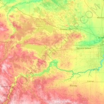
Name: Parkland County topographic map, elevation, terrain.
Location: Parkland County, Alberta, Canada (53.30735 -115.11743 53.71583 -113.64490)
Average elevation: 751 m
Minimum elevation: 623 m
Maximum elevation: 938 m