
Penegal topographic map
Interactive map
Click on the map to display elevation.
Penegal
Der Penegal (italienisch Monte Penegal, 1737 m) ist ein Berg im Mendelkamm im Süden Südtirols an der Grenze zum Trentino. Eine schmale und kurvenreiche, mautfreie Straße führt vom Mendelpass über 3,9 Kilometer mit einem Höhenunterschied von 358 Metern zum Gipfel.
About this map
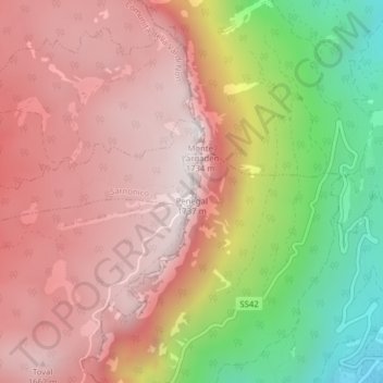
Name: Penegal topographic map, elevation, terrain.
Average elevation: 1,311 m
Minimum elevation: 647 m
Maximum elevation: 1,737 m