
Leimsfeld topographic map
Interactive map
Click on the map to display elevation.
About this map
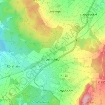
Name: Leimsfeld topographic map, elevation, terrain.
Location: Leimsfeld, Frielendorf, Schwalm-Eder-Kreis, Hessen, Deutschland (50.93221 9.25053 50.95923 9.31462)
Average elevation: 273 m
Minimum elevation: 215 m
Maximum elevation: 363 m