
Muang Kham topographic map
Interactive map
Click on the map to display elevation.
About this map
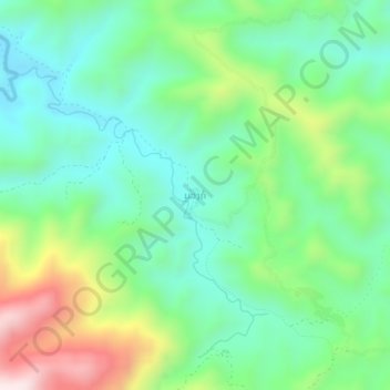
Name: Muang Kham topographic map, elevation, terrain.
Location: Muang Kham, Phou Kout District, Xiangkhouang Province, Laos (19.81766 103.22891 19.85766 103.26891)
Average elevation: 762 m
Minimum elevation: 565 m
Maximum elevation: 1,201 m
Other topographic maps
Click on a map to view its topography, its elevation and its terrain.
Miam
Laos > Xiangkhouang Province > Phou Kout District
Miam, Phou Kout District, Xiangkhouang Province, Laos
Average elevation: 890 m