
Picchu topographic map
Interactive map
Click on the map to display elevation.
About this map
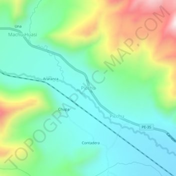
Name: Picchu topographic map, elevation, terrain.
Location: Picchu, Santa Rosa, Provincia de Melgar, Puno, Perú (-14.52947 -70.94468 -14.48947 -70.90468)
Average elevation: 4,269 m
Minimum elevation: 4,069 m
Maximum elevation: 4,738 m