
Grindsted topographic map
Interactive map
Click on the map to display elevation.
About this map
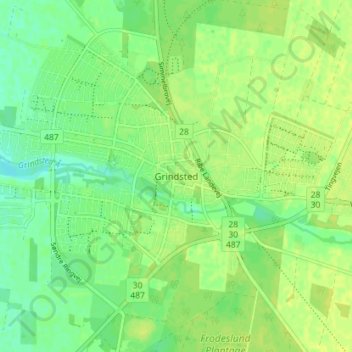
Name: Grindsted topographic map, elevation, terrain.
Location: Grindsted, Billund Kommune, Zuid-Denemarken, 7200, Denemarken (55.73708 8.90776 55.77708 8.94776)
Average elevation: 42 m
Minimum elevation: 33 m
Maximum elevation: 47 m